


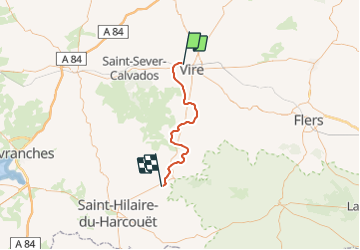
Basse Normandie - Ligne 440 - Vire - Romagny

mich54
User


5m
Difficulty : Unknown

FREE GPS app for hiking
 SityTrail
IGN / Geographical institutes
SityTrail Plus
The world is yours!
About
Trail Other activity of 39 km to be discovered at Normandy, Calvados, Vire Normandie. This trail is proposed by mich54.
Description
La ligne de Vire à Romagny est une ancienne ligne de chemin de fer française, se trouvant dans les départements du Calvados et de la Manche en Basse-Normandie et reliant Vire à Romagny.La ligne est fermée au trafic voyageurs le 2 octobre 1938 (mais rouverte pendant la guerre du 6 octobre 1940 à 1941.(Source Wikipédia)
Positioning
Comments